

04 Jul Different Types of Land Surveys: Understanding Their Applications
Land surveyors play a crucial role in various property-related endeavours, on top of liasing with builders, designers, engineers, house raise companies and certifiers etc, we also utilise cutting-edge technology and precise calculation methods to provide accurate survey results. In this article, we’ll explore six common types of land surveys and discuss when they are typically employed for residential properties or construction projects.
Boundary / Identification Survey
A boundary survey is conducted by cadastral surveyors to establish the precise property lines of a land plot. To accomplish this, the fully qualified surveyor conducts thorough research on the property, including examining the registered Deposited Plan, Certificate of Title, and existing survey information in the area. They then visit the site equipped with specialised surveying equipment to physically mark the boundary lines using the registered Deposited Plans and State Survey Marks. Boundary survey documents are essential for property owners or developers seeking to install new fencing or apply for Development Consent.
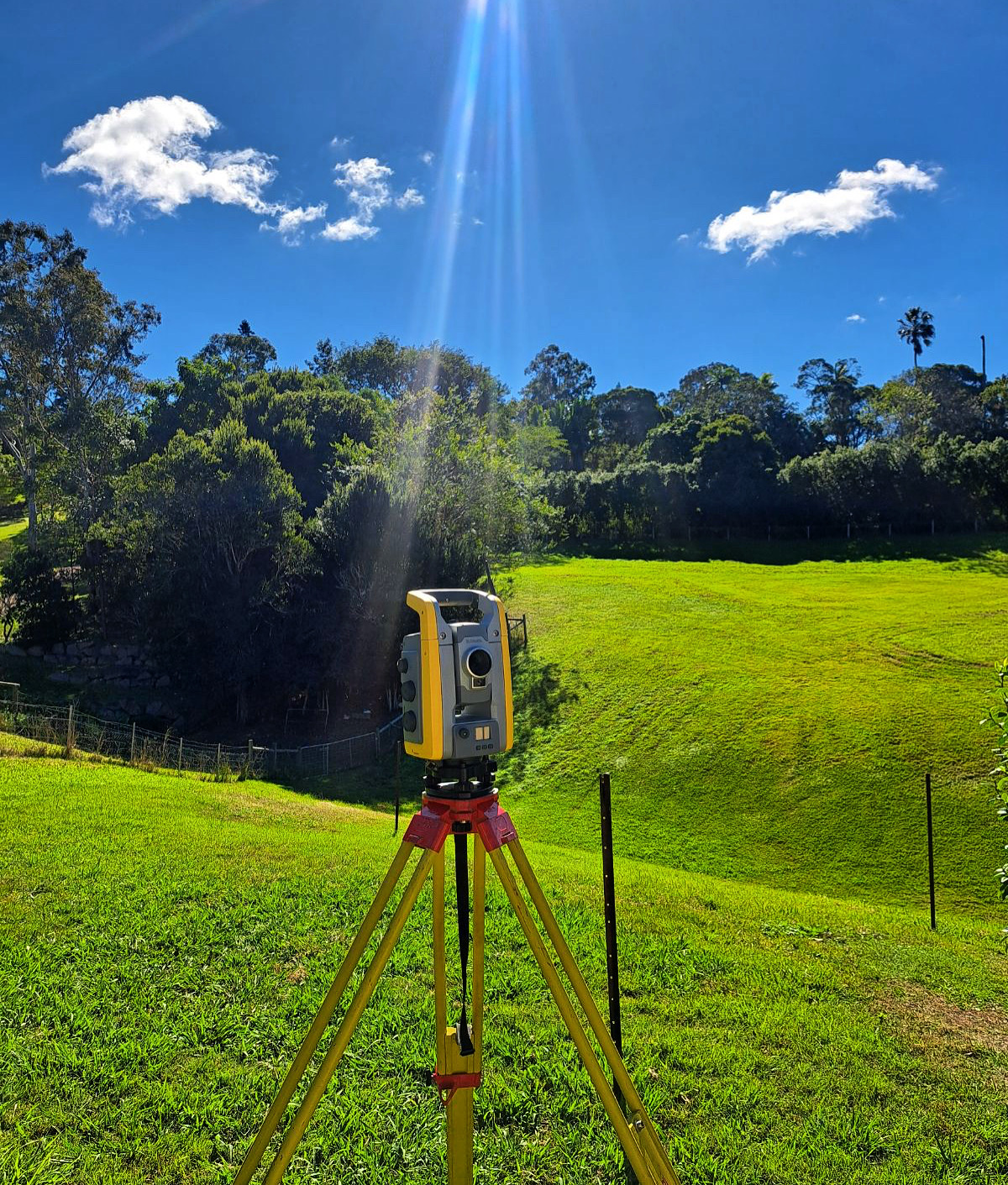
Drtail / Contour or Topographic Survey
A detail, contour or topographic survey is performed by land surveyors to identify natural and man-made features on a property. This includes existing buildings, easements, neighbouring properties, significant trees, visible street furniture, and site levels. Surveyors combine field equipment and CAD (Computer-Aided Design) software to create a plan of the property, and if needed, they can generate a 3D model.
Topographic surveys are necessary for property owners planning to develop their land, as they provide crucial information for building designers or architects to begin the design process and finalise house plans.
Identification Survey and Report
An Identification Survey and Report are conducted by land surveyors to identify buildings and structures on a property in relation to the property boundaries, highlighting any encroachments by or upon neighbouring properties. Through calculations and the use of CAD software, the surveyor prepares a sketch and a written report detailing the findings.
Identification Surveys and Reports are typically requested by local QLD councils in cases of illegal construction on a property or at the end of a new build to ensure accurate positioning. Solicitors and conveyancers may also request them as part of a Contract of Sale.
Construction Setout Survey and Form 12
Construction surveys involve land surveyors using approved architectural plans and Deposited Plans to determine the proposed location of a new structure. Physical marks are placed in the approved location for various trades to follow, such as excavators, bricklayers, and concreters. The surveyor then creates a sketch showing the mark locations, which is signed by a Registered Surveyor. Once the setout has been performed, we can provide a Form 12 for your certifiers to help progress the project through to its next stage. Construction and setout surveys help homeowners, developers and builders monitor project progress and ensure the construction aligns accurately with the original design plans.
Ascon Survey:
As-Constructed surveys, or “ascon” surveys, document the final conditions of a completed project. Conducted after construction, they verify that the work aligns with the original specifications, plans, and permits. Ascon surveys involve measuring and detailing the project’s physical features, structures, and infrastructure, comparing this data to the initial design plans to confirm compliance or identify discrepancies.
Subdivision Survey:
Surveyors perform subdivision surveys to legally divide a parcel of land into smaller parcels. They prepare both Preliminary Subdivision surveys for approval purposes and Final Subdivision plans for registration with Land Registry Services. Any property owner or developer interested in dividing their land requires a subdivision survey. Currently, Survey My Block does not provide sub-division surveys and recommend speaking to Darcy at Edwards Surveying who specialises in these surveys.
Easement Survey
Easement surveys involve the determination and legal registration of an easement, which grants a property owner the right to use a portion of a neighbouring property. The most common type is an Easement to Drain Water, allowing the legal installation of stormwater pipes through an adjoining property. Surveyors assess the stormwater design provided by a Hydraulic engineer to determine the appropriate method of registering the easement.
Land surveyors play a crucial role in mapping out boundary lines and identifying features on construction sites and building projects. Their services are essential for various endeavours, including new developments, construction projects, and subdivisions across Brisbane, Ipswich and the Gold Coast regions.
No Comments