Whether you need a boundary survey, construction survey, Form 12 or a detail survey for house plans, we have the right type of survey for you, your builder, your certifier or design team. Discover more about how we can help you accurately and professionally survey your property and project in Brisbane, Ipswich or the Gold Coast
Boundary / Ident Surveys
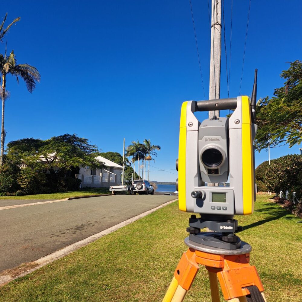
A boundary or identification surved accurately marks boundary corners, ensuring they are in their true legal positions. We measure nearby structures and report any issues.
Legally, a survey plan must be prepared as a record and are common for new home constructions and extensions, fence lines, retaining walls or any project where boundary clarity is required or there maybe a neighbour dispute.
Detail / Contour Surveys
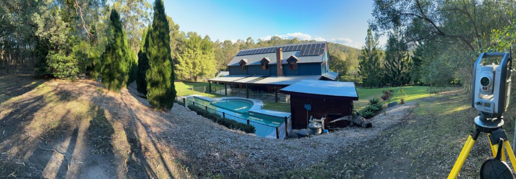
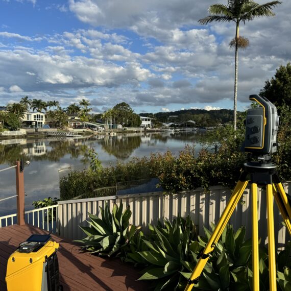
This is our most popular residential survey for homeowners and architects / building designers who need to finalise house plans. This survey is based on the Australian Height Datum and includes spot levels, contours, and vital information on your property. We locate your house, nearby buildings, major trees, retaining walls, and visible services, while also providing a handy benchmark on-site.
This also includes accurate boundary overlays and BCC Contours from 2002.
Site Setout Surveys
A site setout survey is a crucial step in the construction process where we accurately mark the position and layout of your proposed building, structure, or infrastructure on the ground.
Popular with builders, the setout is based on the approved design or architectural and engineering plans and ensures that the construction is carried out in the correct location, orientation, and elevation.
Certification Surveys – Form 12s
This survey is often required for builders who need a building location or height certificate (Form 12). This survey will let the certifier know that the house construction works have been built in accordance with approved plans and can therefore be certified.
Contours, spot levels, or TBM are created to identify flood-affected land, with levels measured to the Australian Height Datum (AHD). These help determine the minimum floor level required for a house raise or RHF lift, ensuring safety and compliance.
Subdivision Surveys
A subdivision survey is an essential step in dividing a piece of land or a building into smaller, separate lots. Our team accurately mark both the existing and proposed new boundaries on the site.
A survey plan is then prepared to ensure it aligns with the approved development requirements and is suitable for submission to Titles Queensland.
Our team provides a clear framework to help navigate the entire subdivision process from start to finish